Dam & Canal
Great East Lake Dam
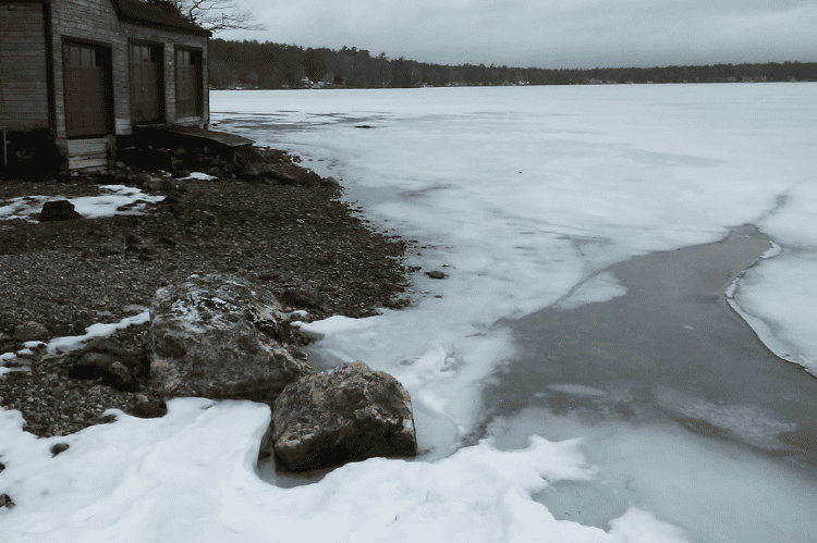
The water level in Great East Lake is controlled by a dam, located at the Wakefield, NH/Acton ME border, adjacent to the public boat launch. The dam is operated by the State of New Hampshire, Department of Environmental Services, Dam Bureau.
NH DES regularly checks on the dam, and remotely monitors lake levels. Real time data about the water level can be seen at NH DES Water Levels. Once you get to the map, click on the icon for Great East Lake.
For dam emergencies, contact the NH State Police at 603-271-4381 and ask for the on-call DES staff person.
For non-emergency dam concerns, contact NH DES at 603-271-3503, or contact GELIA.

NH DES lowers the lake level by approximately three feet beginning around October 1. NH DES may adjust outflows during other times of year to help manage water levels and quality at downstream water bodies.
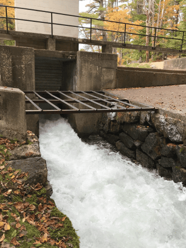
The dam is constructed across the dredged outlet channel of Great East Lake in the Salmon Falls River Watershed. Great East Lake is the source of the Salmon Falls River which forms the lower boundary between New Hampshire and Maine. The dam is 68 ft long, 15 feet high concrete structure. There are two 20 foot wide spillways with 2 feet of freeboard to the top of the dam. There is one 6’w x 7’h sluice gate with stoplogs upstream of the gate. As the water flows out of the dam, it enters the Newichawannock Canal.
The Canal
(from Wikipedia)
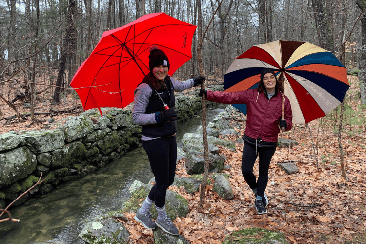
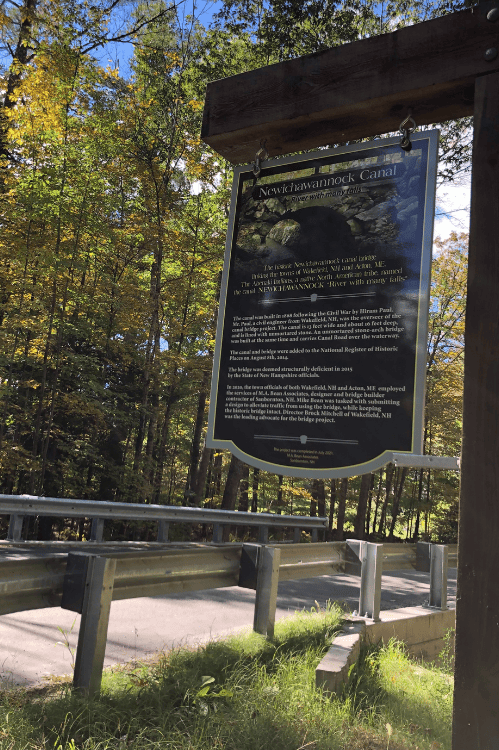
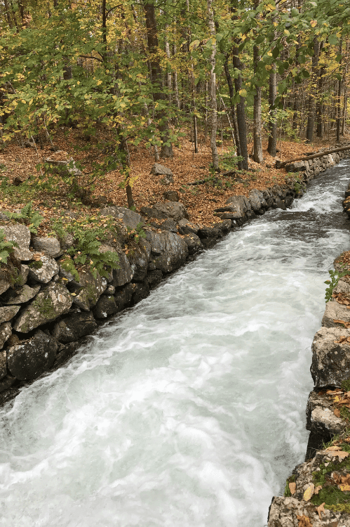
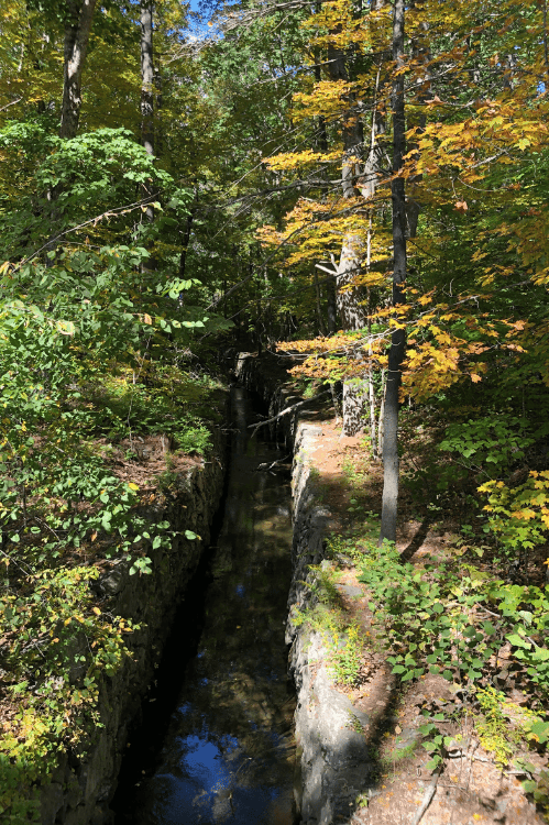
The Newichawannock Canal is a man-made canal which drains Great East Lake into Horn Pond at the border between Wakefield, New Hampshire, and Acton, Maine, in the northeastern United States. It is at the head of the Salmon Falls River, which the Abenaki called Newichawannock, meaning “river with many falls”. Begun in 1850 by the Great Falls Company to increase the water available for its mills in Somersworth, New Hampshire,[2][3] the 0.75-mile (1.21 km) canal is unusual as it was built for strictly industrial purposes in an area remote from the actual industrial site. The canal forms the boundary between the states of New Hampshire and Maine, and is spanned by a stone bridge built at the same time.[3] The canal and bridge, along with related artifacts, were listed on the National Register of Historic Places in 2014.[4]
The Newichawannock Canal is located between Great East Lake to the north and Horn Pond to the south, on the southern portion of the north–south border between Maine and New Hampshire. The canal is 13 feet (4.0 m) wide and about 16 feet (4.9 m) deep, and is lined with unmortared stone. An unmortared stone-arch bridge, built at the same time, carries Canal Road over the waterway.[3] Also located in the area are piles of stone, apparently left over from the canal construction, and a second canal that lies submerged in Great East Lake.[5] Horn Pond is the source of the Salmon Falls River, a tributary of the Piscataqua River, both of which form the New Hampshire-Maine border south of the pond.
